German National Cycling Network's GPX tracks are now available
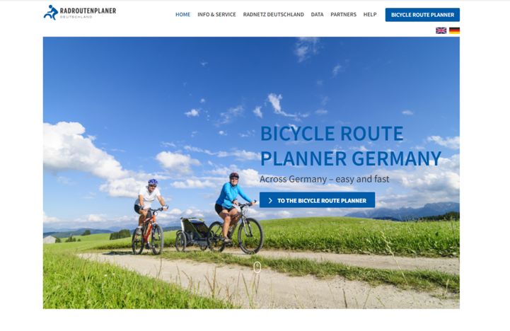
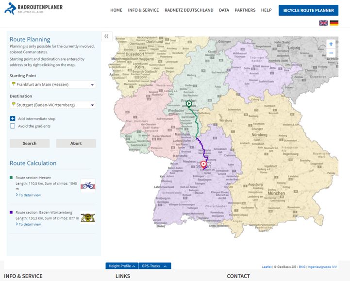
You can now easily find your way on the 12 D-routes (the 12 national German long distance cycle routes), the‘German Unity’ Cycle Routeand EuroVelo 13 - Iron Curtain Trail using the new route planner. The GPX tracks are available to download via this link as a single data set.

At EuroVelo we also worked hard to makeEuroVelo GPX tracks available this summer, EuroVelo routes and stages GPS data sets are available to download at the EuroVelo.com routes pages. Ten EuroVelo routes crisscross Germanyconnecting the country to all corners of the European continent, the development of the European cycle routes in Germany is led by the National EuroVelo Coordinator ADFC.
The “Radnetz Deutschland” (German Cycling Network), a network of long-distance bike routes, are of significant importance for tourism, is now available free of charge for travellers in the form of user-friendly geodata. With this step, the Radnetz Deutschland agency has set the course for a user-oriented approach to cycle tourism. The geodata is accessible for cyclists, tour operators and public authorities in a simple website bringing together a German cycling route-planning service. Comprehending the 12 D routes, the German Unity Cycle Route and the Iron Curtain Trail (ICT), the Radnetz Deutschland is a network of cycling routes of national importance that connects all German regions. It thus comprises all the premium long-distance cycling routes of the country, which are the most attractive for tourists.
Cyclists and those interested can now access digitally the individual tracks free of charge. The user-oriented GPS format simplifies planning and navigation of the cycling trails on mobile devices (smartphones, mobile GPS devices, etc.). Not only cyclists can benefit from the data; companies such as app developers will be able to integrate the data into their services.

The provision of geodata has laid the foundation for further milestones to develop user oriented cycling tourism in Germany. The next step to be taken by the Radnetz Deutschland agency is to develop a harmonised database in collaboration with the federal states. This database will include high level information about the quality, surface condition, gradient or accessibility of the different cycle route sections. This will facilitate the comprehensive expansion of the range of available geodata in cycling tourism to provide users and cyclists with a standardised presentation of the available information.
The German government’s support programme for the improvement and extension of the German cycle route network (Radnetz Deutschland) will financially support the qualitative improvement, awareness and attractiveness of the D routes, the German Unity Cycle Route and the Iron Curtain Trail. In addition to the support programme, the Radnetz Deutschland agency is promoting joint marketing actions and coordinating cooperation with the federal states to create a digital cycling network.
Information on the Radnetz Deutschland and the German Unity Cycle Route can be found at the following links: www.radweg-deutsche-einheit.de; http://www.bag.bund.de/DE/Navigation/Foerderprogramme/Radverkehr/Radnetz_Deutschland/Radnetz_Deutschland_node.html (in German)
Further information on bicycle traffic can be found using the keyword “Förderprogramme” (support programmes) on the website of the Federal Office for Goods’ Transport at bag.bund.de.